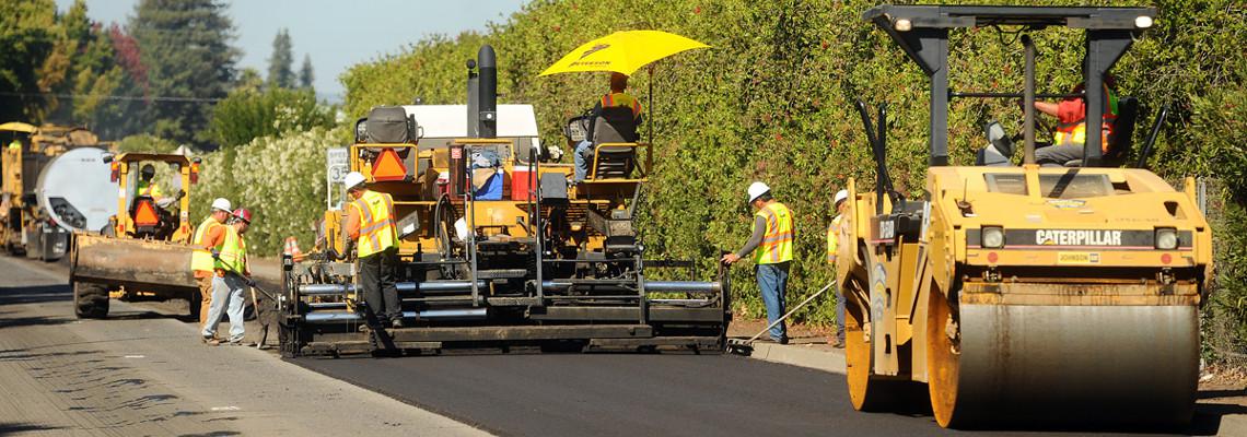
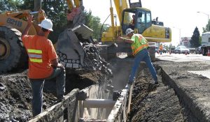
Public Works
Public works organizations face a myriad of challenges in managing assets, facilities and infrastructure including diminished budgets, strict regulations, aging infrastructure and increased repair costs.
Adding to this challenge is the fact that many organizations possess inaccurate or outdated infrastructure data and a lack of coordination across departments. This can lead to duplicated efforts and a misalignment of resources for planned work.
 A Complete Public Works Enterprise Information System
Access to accurate and timely information is critical for public works organizations to effectively complete regular business operations from budgeting to forecasting to planning and reporting.
GIS is a powerful tool that provides enhanced visualization and analysis of asset information for quicker and more accurate decision making. It also provides a platform to integrate robust business systems such as maintenance and work management applications, to create a complete public works enterprise information system.
Public works departments use our GIS solutions for:
Asset Management – develop an information system to store, manage and maintain asset data
Operational Planning – integrate systems to analyze site problems, resources and asset information for coordinated work efforts
Operational Awareness – incorporate information from a variety of sources to create a single, authoritative source of knowledge
Mobile Operations – facilitate effective field communication, real-time fleet tracking, efficient data capture and maintenance
Water/Wastewater Management – integrate GIS with engineering systems such as SCADA to develop a single platform for planning, monitoring, operations and reporting
Emergency Management – create a common operational picture for effective communication with stakeholders including emergency crews, media and citizens.