Education
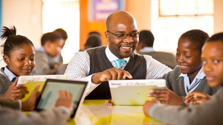
GIS is a tool that can help in many areas of education. With GIS, teachers can engage their students in the classroom and help them develop critical thinking and spatial analysis skills needed to meet the demands of today’s globalized workforce. It can be used by school boards and campus administrators to monitor student enrolment. It can also help libraries and museums find the best way for their visitors to access information and help universities and colleges conduct their research.
 Enhance Teaching, Administration and Research
Students, educators, administrators and researchers use our solutions to better understand geographic relationships that affect students’ knowledge and skills, resource planning and other education concerns. Our solutions help educational institutions improve the quality of education, increase the accessibility to education and find more cost-effective delivery modes.
With our solutions, you can:
- Integrate diverse information
- Perform advanced statistical analysis
- Communicate more effectively
- Improve data accuracy with mobile devices
- Provide access to data across the enterprise
- Enhance data confidentiality
- Develop and implement a school mapping solution