Natural Resources
Natural resources, whether terrestrial, marine, or atmospheric, are finite. It is critical to measure and manage these resources in a sustainable manner as they impact our quality of life. The idea of using geography as the intellectual backbone to which all environmental data can be attached by location was the foundation that ultimately led to the development of GIS. Click here to download our flyer.
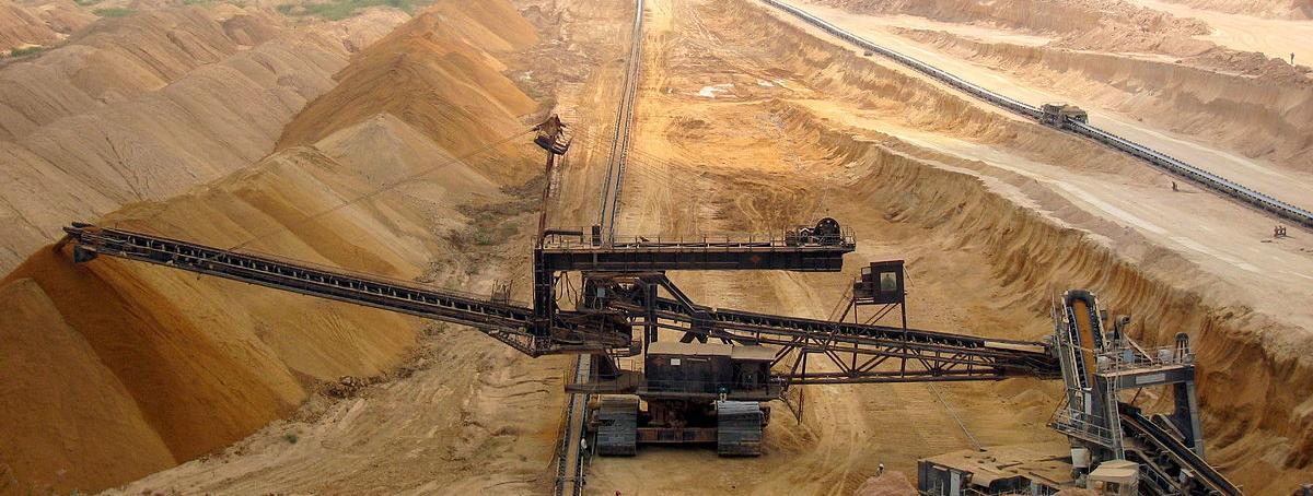
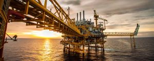
GIS helps foresters develop long-term supply strategies, forecast silvicultural stock and determine harvesting system options. Mineral geologists and mine operators can use GIS to mine intelligently, efficiently and safely. Oil and gas companies leverage geography to determine where to drill, route a pipeline and increase efficiencies in their operations.
 Make Better Environmental Decisions with GIS
ESRI’s GIS solutions provide the ability to overlay various data to delineate and predict the future of resources, land, ocean, plant life and wildlife. This enables decision makers to implement laws and programs that will protect and sustain the environment and natural resources.
Our solutions can be used in many areas of natural resources including:
Site Analysis – Whether deciding where to set up a mining facility, drill a well or route a pipeline, ESRI’s GIS solutions help you get more from your existing data and information solutions.
Asset Management – An integrated system reduces the cost of maintaining asset records and enables coordinated decision-making.
Regulatory Compliance – ESRI’s solutions reduce environmental risk through data analysis, modeling and reporting.
Mobile Operations – ESRI’s mobile solutions bring office technology to the field for work processes such as surveying and inventory capture.
Environmental Management – Using GIS, it is possible to display, analyze and mine datasets across a diverse range of disciplines for a complete environmental picture.
Sustainable Development – Our solutions are used to predict future land and resource use, monitor habitat and climate change and track human and wildlife activity.
Research – GIS presents the information researchers need in easy to understand views and in a system that helps model our world.
Routing and Logistics – ESRI’s solutions can be used for efficient routing of crews, equipment and extracted materials on and off existing roads.
Our solutions are widely used in several areas of natural resources including agriculture, archaeology, conservation, marine, coast and water resource management, as well as forestry, oil and gas and mining.